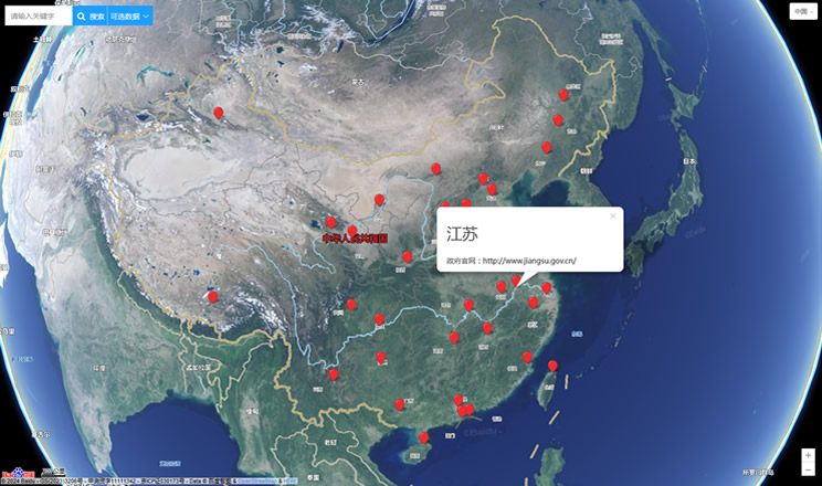
This is a
map of Emiliano Zapata 22, Pueblo San Andrés Totoltepec, 14400 Coyacán, Federal District, Mexico, You can
Show street map of Emiliano Zapata 22, Pueblo San Andrés Totoltepec, 14400 Coyacán, Federal District, Mexico,
Show satellite imagery(
with street names,
without street names) and
Show street map with terrain,
enable Panoramio
The region has not been introduced.
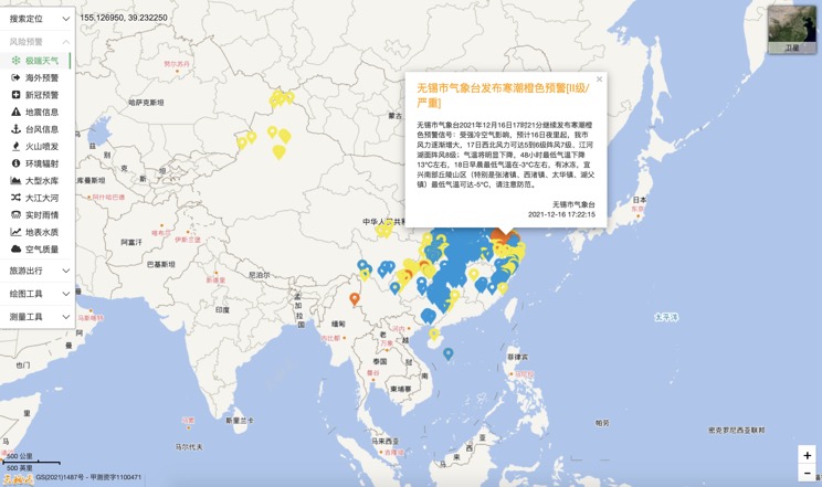
Extreme weather in China
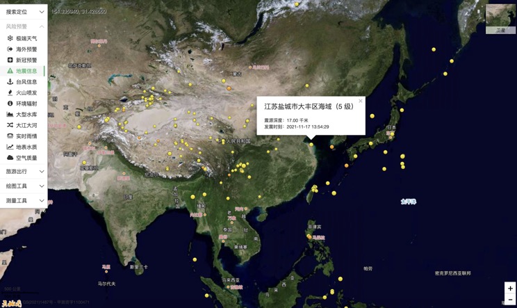
China Earthquake Information
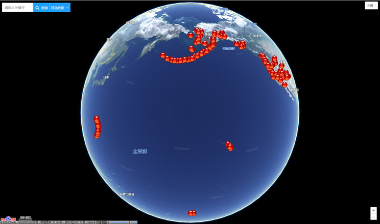
Volcano eruption
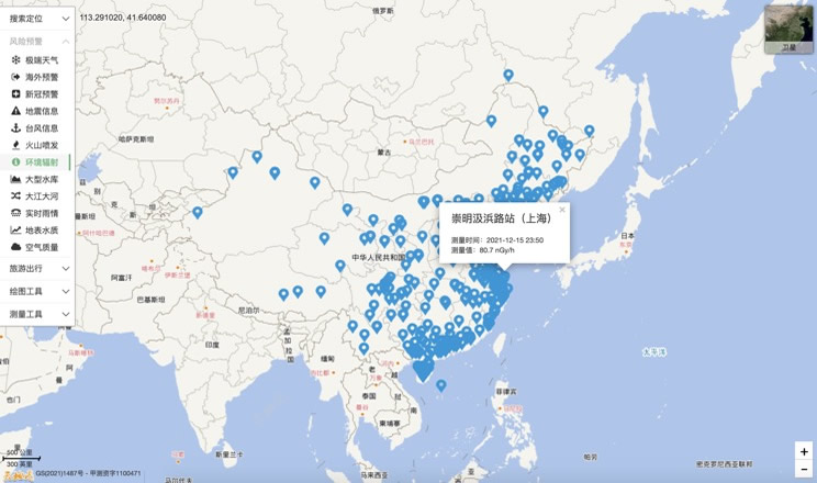
Environmental Radiation in China
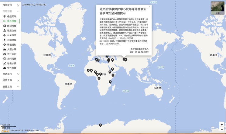
Overseas Warning
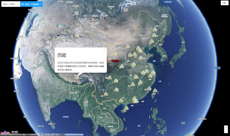
China's air quality
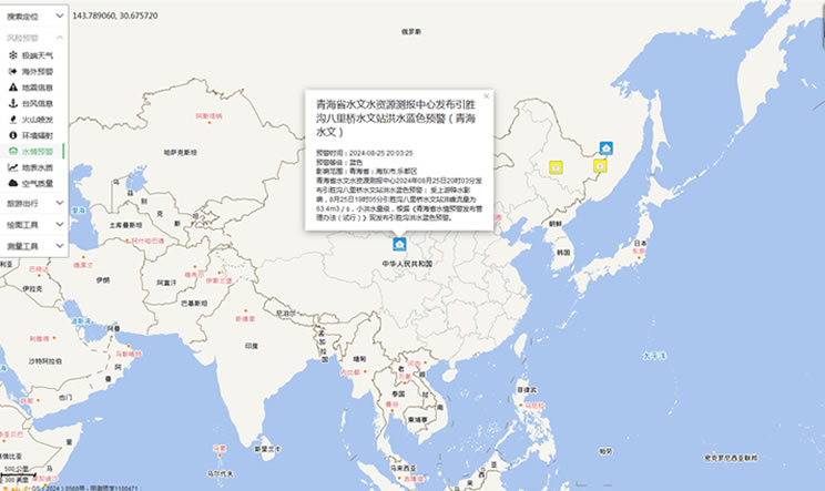
China's Water Disaster Alert
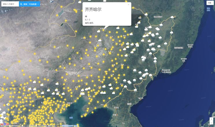
China Weather Forecast
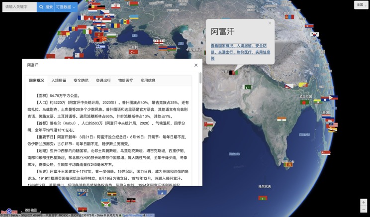
Introduction to Countries
China Subway Lines

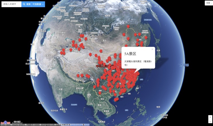
China's 5A Scenic Spots
Provincial Capitals in China
